
Northward; ever northward, into the white unknown.
Returning down Lancaster Sound, National Geographic Explorer rounded the corner of Devon Island and pointed toward the midnight sun. Philpots Island lies just off of the east coast of Devon Island, where the ice that caps Devon Island reaches the Arctic sea.
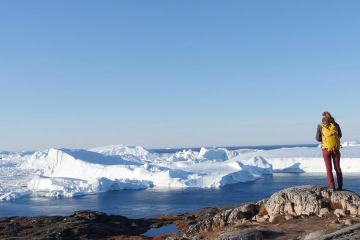
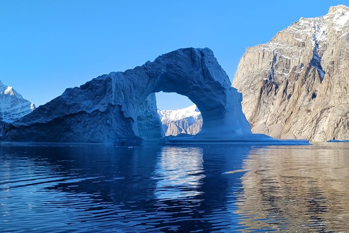
Approaching our anchorage, a lone muskox was seen on a distant ridge; that was good. But then a polar bear was spotted along the beach; that was, perhaps, not so good. A polar bear on land is probably a hungry polar bear, and likely to take us as something with which to break its fast; nice to see from the ship, not nice to see from the land. Our plan was quickly revised and we bundled up and boarded our Zodiacs for tours. The ice attracted our boats—pieces large and small in a myriad of shapes, colors, and textures. This was glacial ice, formed by the gradual accumulation of snowfall on Devon Island, pushed out be its sheer weight to be calved into the sea. White ice contains small bubbles of air, leftover from the snowfall. These reflect and refract all wavelengths of light and we see white. When pressure has forced the air from the ice, leaving pure, crystalline H20, the ice rejects, as it were, more of the wavelengths that we perceive as blue. In a large enough piece the ice seems to glow with an ethereal blue light, the larger the piece the bluer the ice. These were a magnet for our camera lenses.
Scanning along the shore, we found a lone polar bear looking for something ... anything ... to fill its belly and sustain it until the winter ice returns and it can return to its life seeking seals. Nearby, an arctic fox scampered over the rocky tundra. Perhaps it, too, was waiting for the ice to form and it could follow the bear onto the ice, scavenging the remains of the bears' kills.
At evening Recap we had a thorough discussion of ice charts—how they are constructed and what they tell us. We have all been following these charts as they appear daily on the bridge of our ship. Clearly, we are at the mercy of the ice. What the latest ice charts tell us is that it would be folly to try to penetrate farther north up the east side of Ellesmere Island, where the wind has packed sea ice into the narrow channel that separates Ellesmere Island from Greenland. Fortunately, we are not slaves to an itinerary; alternative plans have been considered and it has been decided that we will go northward via the west side of Ellesmere Island. This is one of the most remote and least visited areas of the Canadian Arctic Archipelago—indeed, of the planet. We are on a true voyage of exploration, and we are all excited to find what awaits us.