
We made an unscheduled expedition stop this afternoon at the amazing Polynesian island known as Makatea, sometimes called Aurora Island. It is located in the northwest region of the Tuamotu Archipelago and is one of only four islands among this huge group that is not an atoll. It is a raised coral island (or makatea) and is very different-looking compared to the typical low, sandy, coralline islands spread through out this region of French Polynesia. Politically, Makatea is administered as part of the Windward group of the Society Islands
Makatea Island is very important from a historic point of view because the center of the island was once a solid mass of phosphate that was produced millions of years ago when the island was submerged and large amounts of rich organic material decayed on its reef. As bacteria metabolized theis organic debris, it precipitated the phosphate and long after the island was uplifted, erosion concentrated the phosphate to form the valuable deposit which was mined jointly by the British and the French until 1966, when the phosphate reserves were depleted. Phosphate rock is processed to form phosphorus compounds which are then mixed with nitrogen and potassium (potash) to produce synthetic fertilizers. Only about 50 people now inhabit the island.
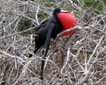
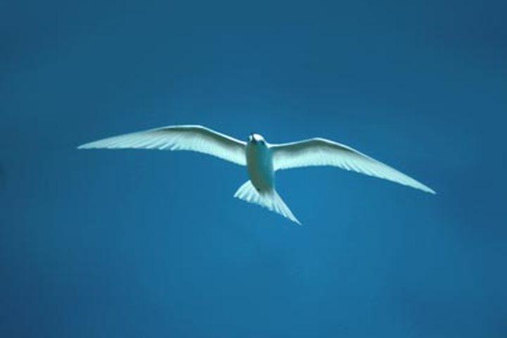
The island measures about 4.5 miles (7.5 km) north to south in length and rises up to 260 feet (80 m) in height above sea level with a spectacular vertical cliff around most of the island’s edge. The exposed rock represents hundreds of thousands or millions of years of coral growth that built up before the island was geologically uplifted on its volcanic core. Makatea Island has a fringing reef, which in addition to the cliffs, makes for a difficult access to the island. The mining interests constructed an artificial harbor on the northwestern coastline, where we were able to gain access to the shore in the early afternoon. Many of us walked up a steep hill for a distance of about 250 yards (about 250 m) and then continue three miles (about 4.5 km) on a fairly flat road across almost the entire length of the island, which is mostly a flat, pock-marked, exposed limestone plateau, covered in some areas with pisonia trees, screwpines or pandanus trees, banyan trees, and endemic Tuamotu palms, as well as beautiful ground orchids, tiger claw lilies, rosy periwinkles, and many other flowering plants. We could also see some of the remnants of the phosphate mining operations that took place those decades ago, including rusted out winches, gear systems, rails, and even a small locomotive. At one point, we walked off the main road to an overlook where we enjoyed a beautiful cliffside view. A little ways beyond that, we reached a picturesque grotto where many of us swam in cool, clear, fresh water. The ceiling overhead was festooned with stalactites, and many of us worked our way far back into an awesome hidden cave system. The bird watchers among us were especially happy to see some interesting birds on the island, including Polynesian pigeons, Makatea fruit-doves, Tuamotu reed-warblers, tropicbirds, noddies, crested terns, and white terns. Some locals helped us out with rides on old flatbed trucks … which was very much appreciated by all.